

The weather is much drier than usual throughout Europe due to a huge anticyclone.Continue reading

Last week, the precipitation deficit decreased, and the soil moisture replenishment will continue for a few more days, after which drier weather will begin, according to the agrometeorological analysis by HungaroMet on Thursday.
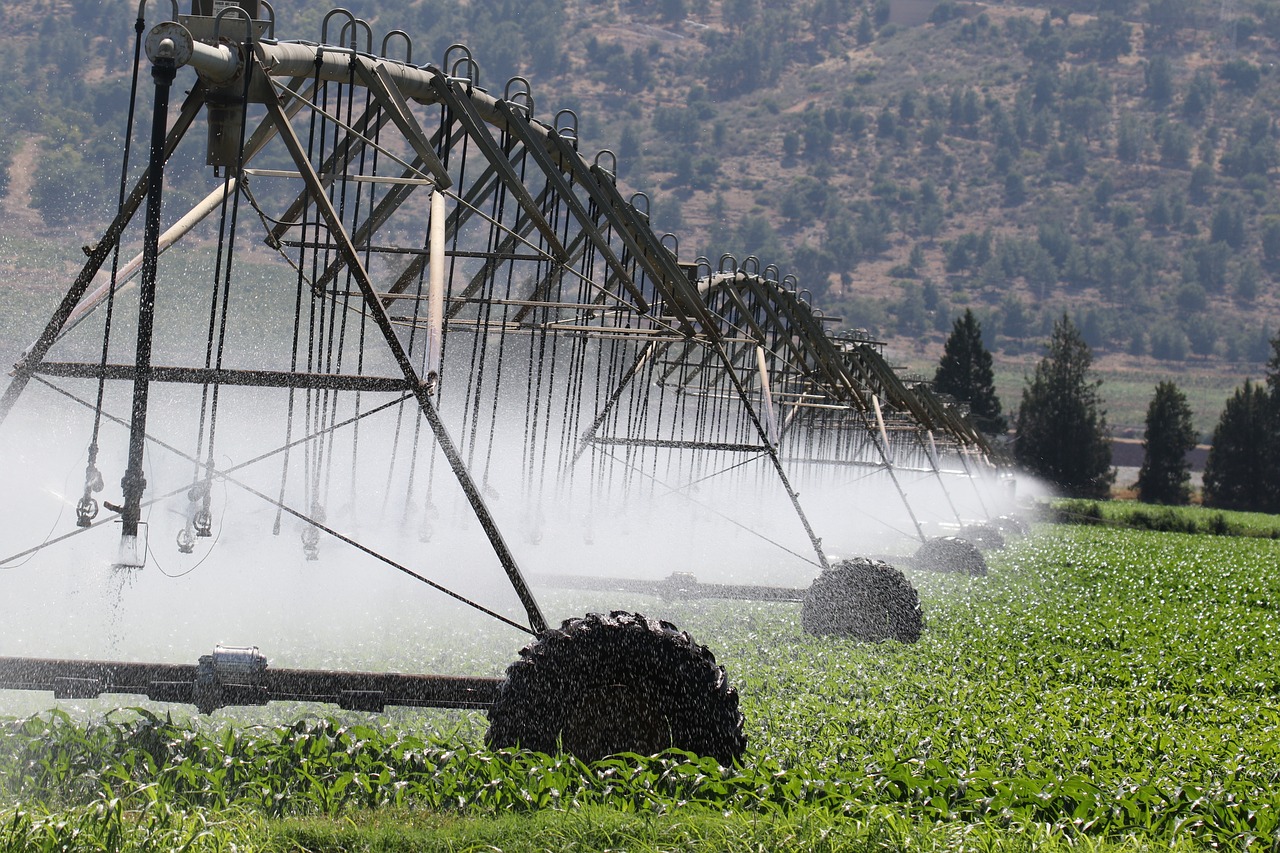
They explained that as of last Saturday, several waves of moist air masses arrived in the Carpathian Basin, bringing significant rainfall of 10-30 millimeters in many areas, and thunderstorms also developed. The most rain fell in the central part of the country, while only a few drops were recorded in the northwest. This further reduced the precipitation deficit, with the total rainfall in the last 30 days ranging between 40-80 millimeters across most of the country, which is much higher than the multi-year average, and in some places, the 90-day total has even surpassed the usual value.
In many areas, the upper 60-80 cm of soil became saturated, and in the southwest and northeast, the saturation reached 1-1.5 meters deep, with some localized surface water flooding.
The water shortage relative to saturation in the upper one-meter layer has decreased to 20-50 millimeters in the Great Plain and northern Transdanubia (Austria), so the situation has significantly improved compared to early March.
There were severe nighttime frosts in the middle of last week, with temperatures dropping to between -3 and -8 degrees Celsius in many areas. From Friday, milder air masses arrived, and by the weekend, the frosts stopped, and daytime warming strengthened. The soil temperature at a 5 cm depth dropped to 4-6 degrees last week, but it is now around 10 degrees again.
The spring development of autumn sown crops, accelerated by the warm weather in the first half of March, and the rain that arrived in the middle of the month, has begun intensively.
As a result of the favorable weather, even the autumn wheat fields that had weaker winter survival are visibly developing.
Among the early stone fruits, apricots and almonds are in bloom almost nationwide. The frost last week hit the trees at full bloom in the southern and central areas, which could cause severe damage to the harvest without protection, while in the northeast, they were still in the bud-break phase.
According to the forecast, between now and the beginning of next week, several waves of rain are expected, with an overall 5-25 millimeters of rainfall. The larger amounts are likely in the southern regions, continuing the soil replenishment process, but a drier period will begin on Tuesday. Temperatures will dip slightly at the beginning of next week, with maximums around 10°C in the consistently cloudy, rainy areas. As fewer clouds appear by midweek, nighttime cooling will intensify, but according to current predictions, there will be ground frost only in frost-prone areas, and daytime temperatures will range from 15-20°C in the middle of the week. Long-term forecasts with greater uncertainty suggest that a significant cold front may arrive in April.
Via MTI; Featured picture: Pexels