

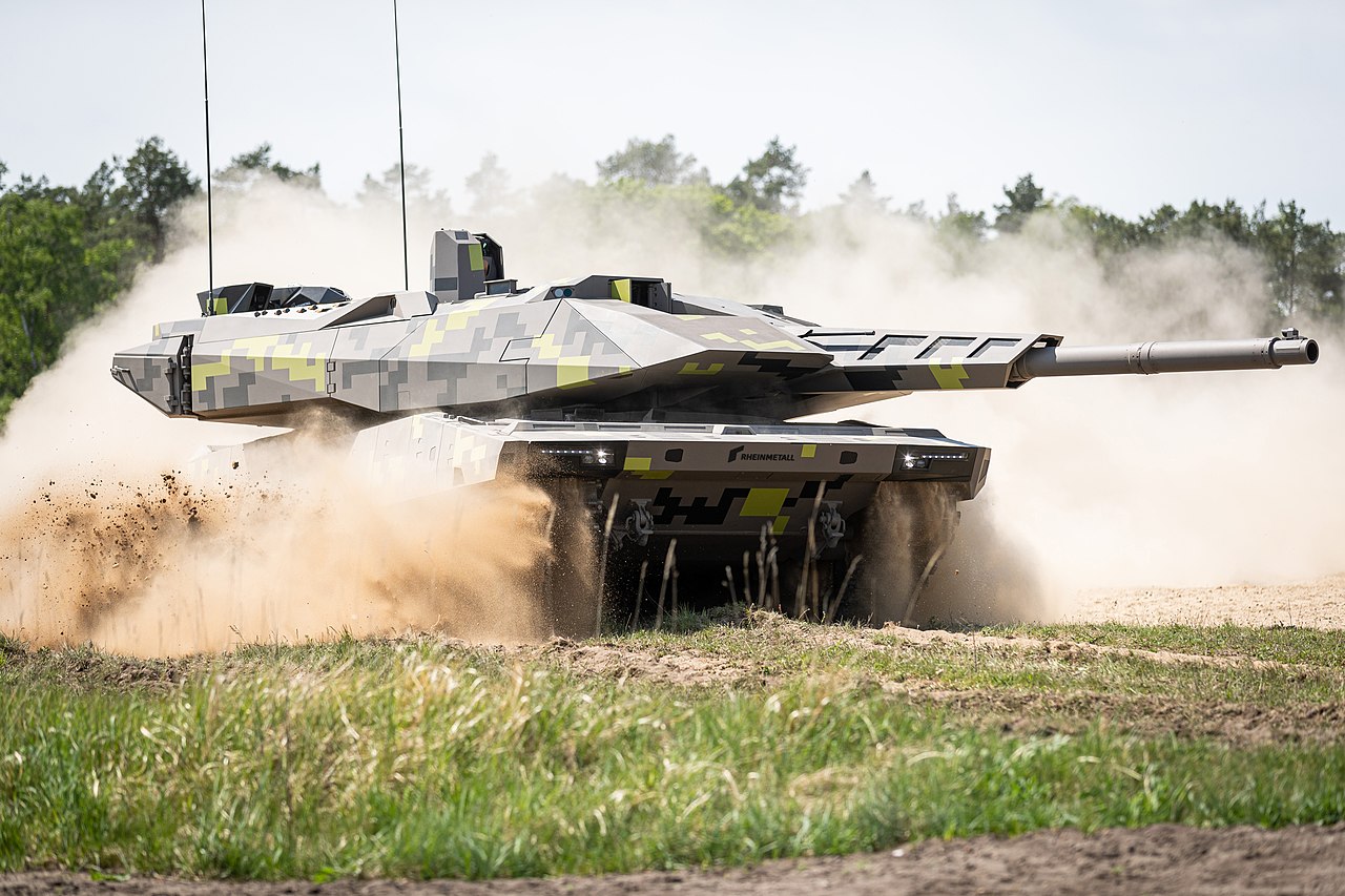
Hungarian universities and research institutes will participate in the field of AI applications in the future.Continue reading
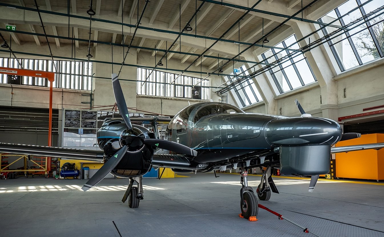
The Hungarian Defense Forces inaugurated a new Diamond DA62 MPP surveillance aircraft on Monday, Honvedelem.hu reports. With the airborne remote sensing data generated by the Vexcel and Riegl remote sensing sensors on board, unprecedented horizons are opening up in geo-information support, said Dr. János Czermann, Deputy State Secretary for Human Resources of the Ministry of Defense, at the ceremonial handover of the new aircraft of HM Zrínyi Nonprofit Kft. at the Liszt Ferenc International Airport.
“In the coming decades, remote sensing data will be decisive in the operation of new military equipment, simulation and control systems of the Hungarian Defense Forces, and will also contribute to the provision of data requirements in other areas of the defense sector (…). With this capability, we will provide basic data for the on-board systems of artillery equipment and infantry fighting vehicles, as well as military aircraft,” said the Deputy State Secretary.
As he pointed out, the DA62 MPP aerial photography aircraft manufactured by the Austrian Diamond Aircraft Industries will enable HM Zrínyi Nonprofit Kft. to make state aerial photography data-ready and future-oriented. He pointed out that the twin-engine DA62 is the most cost-effective, powerful, and versatile aircraft in its class.
This cutting-edge technology will ensure the performance of basic remote sensing tasks for defense purposes, the production of high-resolution aerial images of the entire territory of Hungary and the new terrain model,”
he underlined.

Photo: Honvedelem.hu
Gábor Kulcsár, Managing Director of HM Zrínyi Nonprofit Kft., stressed that the representatives of military cartography have been waiting for a new aerial capability since 1977.
A new era is beginning in military cartography. With the new aerial photography aircraft capabilities, it will be easier to produce high-resolution digital elevation and surface models of Hungary’s military orthophoto database.
This will enable military cartographers to perform their tasks much more efficiently. The (Defense) Minister decided to develop this capability nearly two years ago to the day,” he explained.
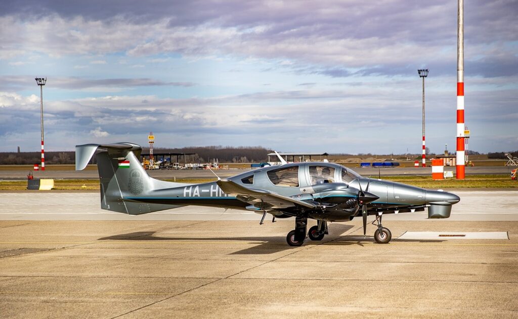
Photo: Honvedelem.hu
He also noted that the arrival of a new aircraft is the result of hard work, planning, and development, to which many people have contributed over the years. “It is a collective success: an achievement that symbolizes our commitment to quality, precision, and innovation.”
Lieutenant General Ferenc Kajári, Deputy Chief of the Defense Staff, emphasized that “the Hungarian Defense Forces need to provide geoinformation support faster and more efficiently, with increasingly dense change tracking, and in line with this, HM Zrínyi Nonprofit Kft. has implemented this capability development “in an exceptionally short time and with record speed.” He added that “with the new airborne remote sensing data, the Hungarian Defense Forces will be able to plan and execute their operations in much greater detail and with much greater accuracy.”
The new Diamond DA-62 MPP aircraft is equipped with state-of-the-art airborne remote sensing sensors (high-resolution digital camera and airborne laser scanner).
Compared to previously available technology, spatial data and local data collection, the new capability can deliver 10x resolution, 100x data volume increase, 1000x area coverage. This represents an order of magnitude improvement in data quality, data production speed, and the ability to provide nationwide coverage with the new data. State-of-the-art data processing technology can be used to produce new digital cartographic databases, classified datasets, and three-dimensional city models.
The Diamond DA62 MPP reportedly costs USD 1.4 million.
Via Honvedelem.hu, Featured image: Honvedelem.hu